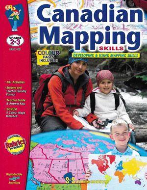
Canadian Mapping Skills strengthens mapping skills and understanding of geographic terminology through various activities. Students will explore Canada using maps and will learn about its political divisions and its position in the world. They will be introduced to the terms hemishpere, continent, latitude, longitude, pictoral symbols, legend, key, scale, landforms, and cardinal and intermediate directions. Exploring different maps of one's native country is a wonderful way to become acquainted with it.
This print book is in black and white. Check on our website for the ebook which is available in colour.
Don't see the ebook? Contact us and we will do our best to make it available for you.
This print book is in black and white. Check on our website for the ebook which is available in colour.
Don't see the ebook? Contact us and we will do our best to make it available for you.
- ConsumableYes
- CopyrightMay copy for single classroom use
- FormatWorkbook
- Grade LevelGrade 2 to 3
- LocationCanada
- Number of Pages80 Pages
Description
Canadian Mapping Skills strengthens mapping skills and understanding of geographic terminology through various activities. Students will explore Canada using maps and will learn about its political divisions and its position in the world. They will be introduced to the terms hemishpere, continent, latitude, longitude, pictoral symbols, legend, key, scale, landforms, and cardinal and intermediate directions. Exploring different maps of one's native country is a wonderful way to become acquainted with it.
This print book is in black and white. Check on our website for the ebook which is available in colour.
Don't see the ebook? Contact us and we will do our best to make it available for you.
This print book is in black and white. Check on our website for the ebook which is available in colour.
Don't see the ebook? Contact us and we will do our best to make it available for you.
Product Specs
- ConsumableYes
- CopyrightMay copy for single classroom use
- FormatWorkbook
- Grade LevelGrade 2 to 3
- LocationCanada
- Number of Pages80 Pages
